 |
 |
TUTORIAL
Friendly reminder: When using one of our panoramas in your website, please mention copyright and source: © Jacques Lauber - www.cyclades.mobi |
| Method 1: search for the panorama directly on Google Maps. |
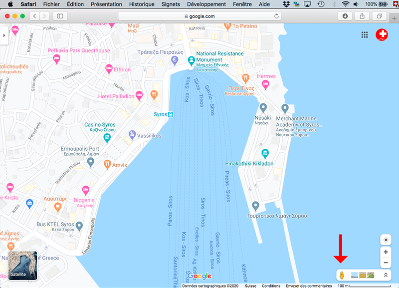
| ☆ Select the area on Google Maps. At bottom right of the window, you see the "Pegman", symbol of Street View. |
 |
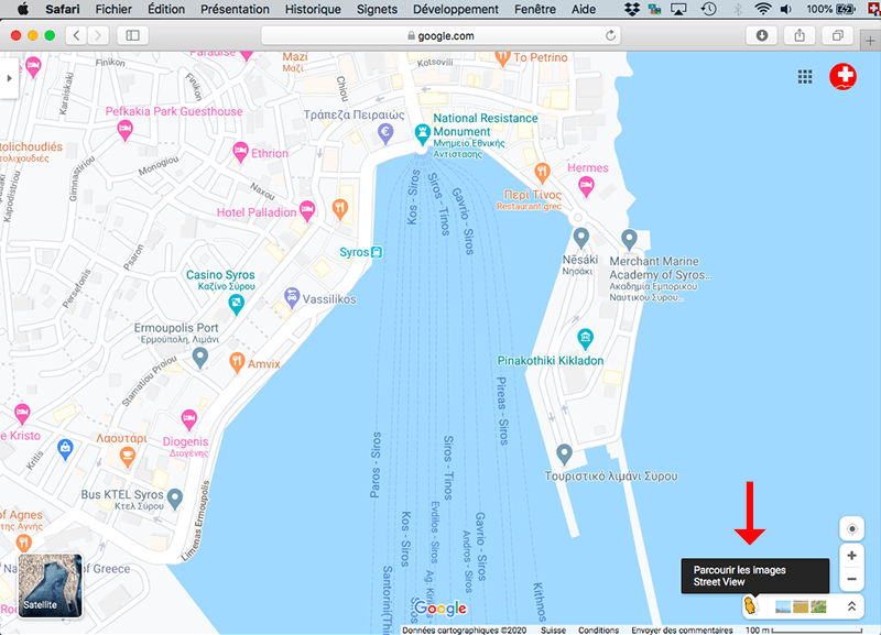
| ☆ Now, click on the Pegman and see what happens... (Just click, don't drag it on the map.) |
 |
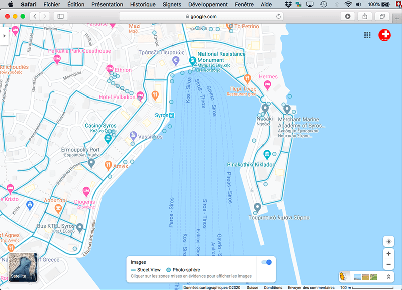
| ☆ The map loads blue dots and blue lines. The blue lines are Street View tracks shot by the Google Car, the blue dots are panoramas and tracks shot by independent photographers like us. |
 |
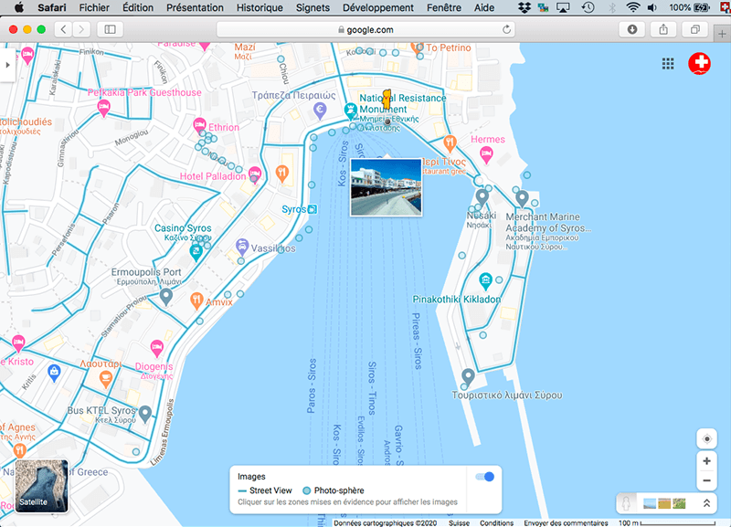
| ☆ Click on the Pegman, drag it on any blue dot and you'll see a thumbnail of the panorama. |
 |
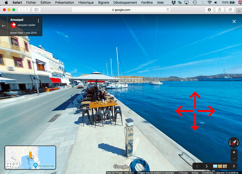
| ☆ Release the Pegman and the panorama loads. You are now ready to set the integration... |
 |
The Pictorial Guide of the Cyclades Jacques Lauber Isabelle Billerey Rue Gambetta 43 CH-1815 Montreux-Clarens Switzerland fusionsch@gmail.com www.cyclades.mobi |