| This Guide of the Cyclades grows throughout our travels in the archipelago and we have yet many places to discover. Here is a brief overview of what you'll find in the mobile website cyclades.mobi and in the collection of free apps for iPhone and iPad... |
| A multiform guide for mobile users |
 | As a website, the guide is intended for all mobile users, regardless of device and operating system. It is suitable for computers, tablets and smartphones of all types.
As a native apps collection, it is currently only available for iPhone and iPad users and we beg the pardon of Android and Windows Phone users! |
| www.cyclades.mobi website |
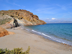
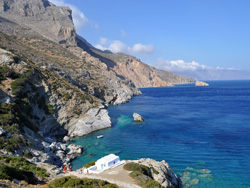 | All islands are featured, including some we have not yet visited. Many selected links (official website, Wikipedia...) allow for more information. A Google map locates every island and, if we have already visited it, photo galleries give you an idea of the best spots. All detailed descriptions have not yet been translated, but an abstract is available in English for all islands.
Discover all islands... |
| The native apps |
 | Developed for iPhone and iPad, these guides expand the cyclades.mobi website with many full screen photos and all needed practical information. They are very useful companions because they can be used even when you are not connected to internet.
Embedded maps allow you to locate your current position using GPS signals, an essential function when traveling without data roaming. |
| The iCyclades app |
 | The collection hub, with all the background information on the Cyclades (travel, climate, food, and much more), a map of the archipelago and a detailed map of Athens and Piraeus. Information relating to travel and maps allow you for example to go easily to pier, city center and airport, or to check your current location when sailing and identify the islands in the offing.
Detailed informations and download link... |
| The GreekMaps app |
 | This app complements iCyclades. It features a more detailed map of the archipelago, and relief maps of each island, with a quite useful detail level (contour lines, roads, and even some dirt roads and hiking trails). Each map displays ports, main villages, and direction to the nearby islands, allowing you to switch to other maps in the blink of an eye.
Detailed informations and download link... |
| Detailed guides |
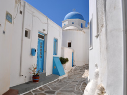
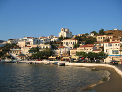
 | The guides dedicated to a specific island include a relief map, detailed maps of major cities or villages, detailed information about the island (villages, beaches, utilities, specific aspects, etc.), photo galleries, tips, and so on.
In these detailed guides, most POIs (points of interest) displayed in the maps load full screen photos or detailed informations about the spot. |
| Good tips |
 | Recommendations (restaurants, hotels, shops, etc.) are made according to our own experience or to feedback of other trusted travelers.
Recommended companies pay a small fee to contribute to the costs, but the quality of their products and services is our first criterion for selection. |
| Updates and upgrades |
 | All guides are in constant development, expanding during our travels, and are subject to regular updates.
Online content changes are made at any time and without notice. New versions of the apps are usually published in spring and autumn and are notified to all users. |
| Already available |
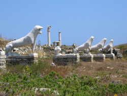
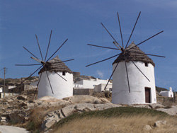
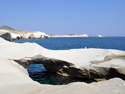 | Eleven islands are already starred in a detailed guide: Thira (Santorini), Mykonos, Syros, Naxos, Paros, Antiparos, Andros, Tinos, Sifnos, Milos and Amorgos. Eleven more islands are featured in the guide of a neighboring island: Thirassia (in the guide of Santorini), Delos (in the Mykonos guide), Despotiko (in the Antiparos guide), Iraklia, Schinoussa, Koufonissia, Donousa and Keros (in the Naxos and Amorgos guides), Kimolos and Polyaigos (in the Milos guide).
List of all apps and download links... |
|